The weather card that appears when you search on Google is now drawn by a new engine. Google DeepMind's WeatherNext 3, announced on September 3, generates forecasts every hour at a resolution as fine as 5 kilometers, and it is rolling out worldwide inside Google Search, the Gemini app, and Google Maps — the same apps many Filipinos already check before a commute, a delivery run, or a trip to the coast.
The timing is hard to ignore. The rollout lands in the middle of the southwest monsoon (habagat) season, with the Philippines' peak typhoon months still ahead.
How WeatherNext 3 forecasts differently
Traditional forecasting runs physics simulations on supercomputers. Those simulations are expensive, update only a few times a day, and work from observation data that arrives with a delay. WeatherNext 3 takes a different route: Google calls it a Functional Generative Network (FGN), a model that ingests live geostationary satellite mosaics alongside historical analysis data. The Decoder reports that this lets the model learn from real-time satellite observations instead of six-hour-delayed simulation outputs.
The headline improvements, per Google:
- 5-kilometer resolution for surface temperature and moisture, 10 kilometers for other surface variables, and 25 kilometers for atmospheric variables — roughly five times sharper than WeatherNext 2
- Hourly forecast updates, up from six-hour intervals
- Up to 50% more accurate precipitation forecasts for planning a day or more ahead
- Against reference datasets, The Decoder cites gains of 60% over NASA's IMERG satellite precipitation record for medium-range global forecasts, 30% over the MRMS radar dataset, and 10% over rain gauges at short lead times
- Wind-speed predictions at turbine height and solar output estimates, aimed at renewable energy operators
Google also says an independent evaluation by weather-analytics firm Brightband rated WeatherNext 3 the most accurate global weather model to date. That is a vendor-forwarded claim, but the direction of travel is consistent across the technical write-ups.
Where you will actually see it
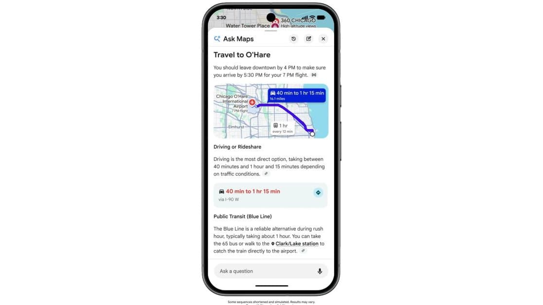
This is not a research demo. WeatherNext 3 now feeds the weather results in Google Search, answers weather questions inside the Gemini app, and powers the forecast layer in Google Maps. Developers can pull the same data through the Google Maps Platform Weather API, while researchers get access via Google Earth Engine and BigQuery, with bulk datasets on Google Cloud Storage. The rollout is global, so it is live for Philippine users now — no waitlist, no separate app.
What it could mean during habagat season
Google frames Asia-Pacific as one of the regions historically underserved by high-resolution forecasting, because physics-based models at this detail demand supercomputing budgets that most weather agencies do not have. That description fits much of the Philippines, where fine-grained forecasts thin out away from major radar coverage. The model also produces tropical cyclone track predictions as a native output — relevant in a country that sits squarely in the Pacific typhoon belt.
There is a wider pattern here. In November 2025, PAGASA and Japanese weather firm Weathernews Inc. began integrating Google's AI flood and cyclone models into their forecasting workflow. And the government is putting its own money on AI forecasting: Project NOAH received ₱1 billion from the budget department for AI-powered flood forecasting. An hourly, city-scale rain picture in everyone's search box slots into that same shift.
Keep PAGASA as your warning source
A sharper forecast in the search box is a planning tool, not an official warning system. PAGASA remains the authority for typhoon signals, rainfall warnings, and evacuation guidance, and nothing in Google's rollout changes that. What WeatherNext 3 changes is the baseline: the free forecast most Filipinos see first is now refreshed every hour, at a resolution that used to require a supercomputer.